Kruger National Park, Sabi Sand And Timbavati
Kruger National Park, Sabi Sand And Timbavati
North-east South Africa is dominated by the Kruger National Park, which covers a huge area of some 2 million hectares stretching for some 200 kms along the western flank of the Lebombo Mountains, the boundary with Mozambique.
It takes two full days to drive from north to south at an average ‘game viewing’ speed. The north of the park is significantly drier, and less visited, whilst the game viewing tends to be more varied in the south.
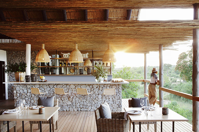
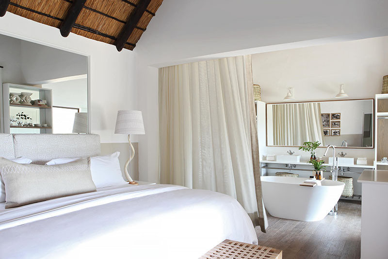
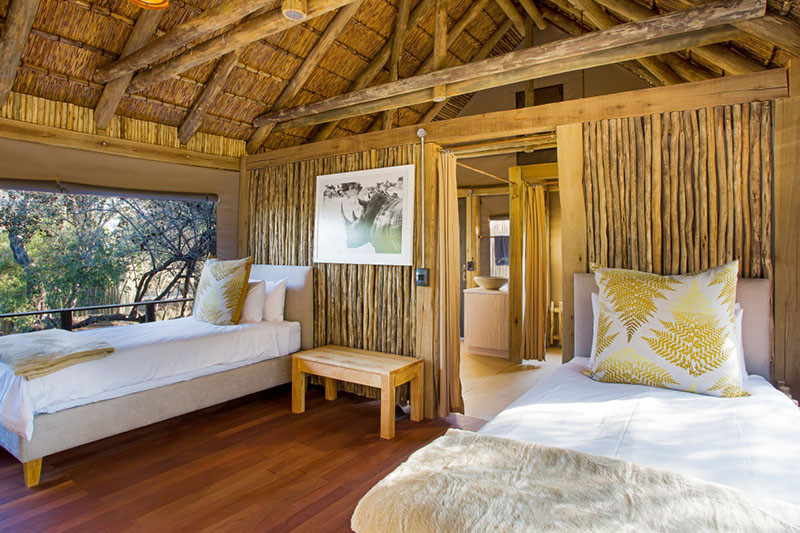
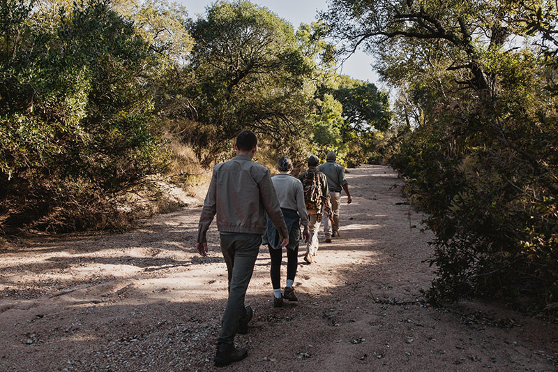
The Kruger has a well developed road network, some of which is tarred (sealed), and in excess of 25 accommodation properties, in the form of rest camps run by the National Parks department, and luxury lodges operating in designated private concession areas. The rest camps cater primarily for the self-drive tourists, whilst the luxury lodges mostly accommodate fly-in international visitors. Of particular note in the far north of the park is the Makuleke Concession which offers dedicated walking trails through landscapes not found elsewhere in the Kruger.
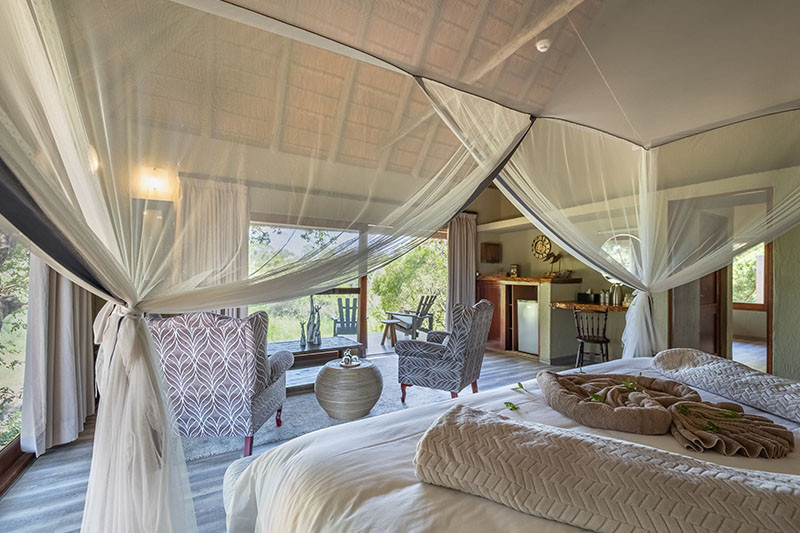
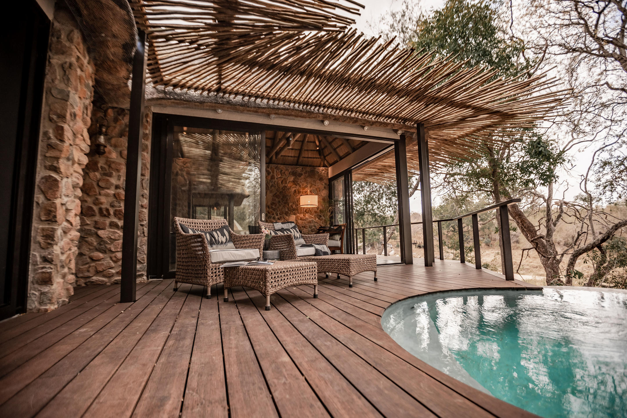
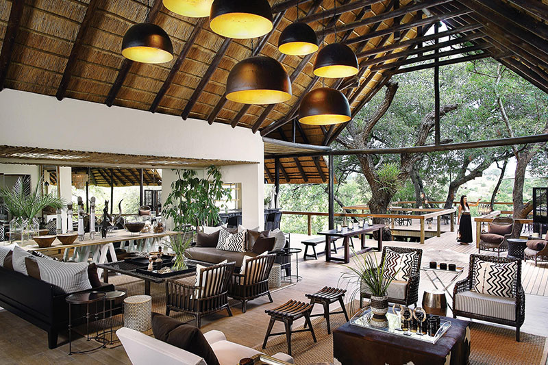
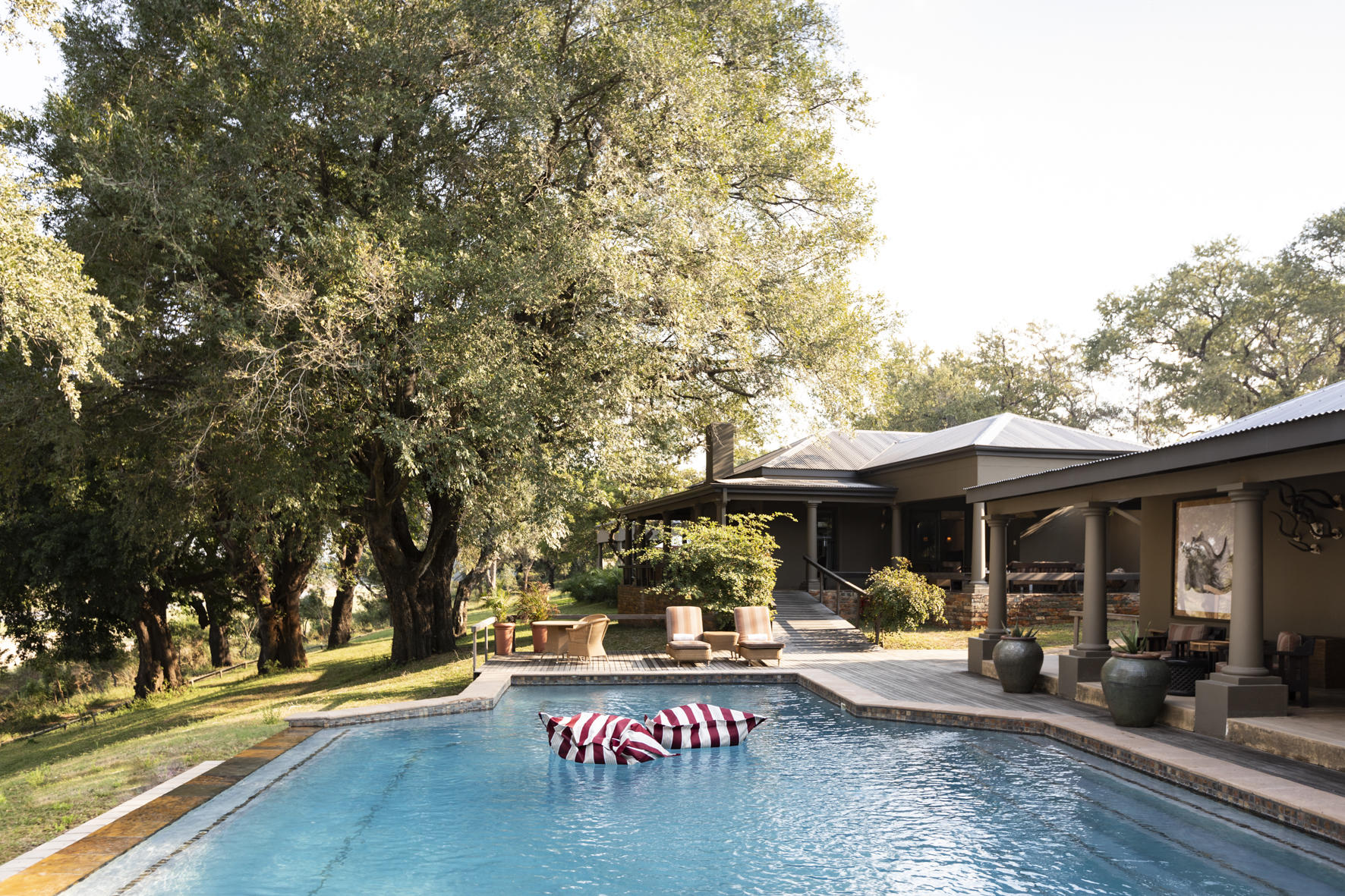
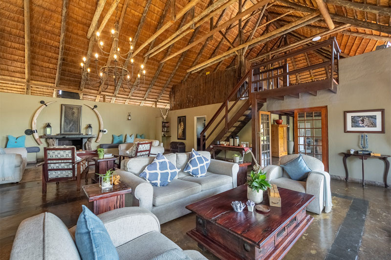
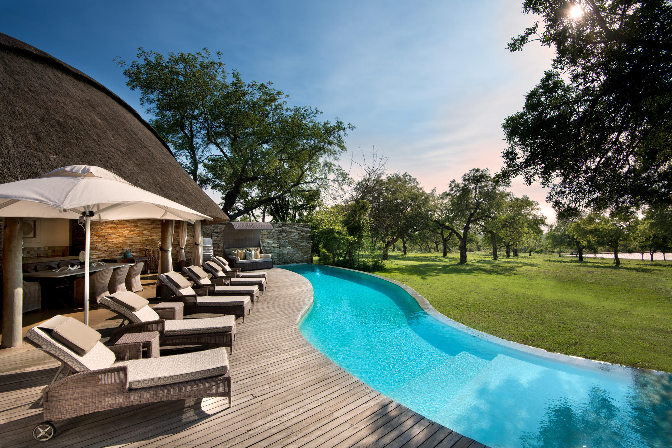
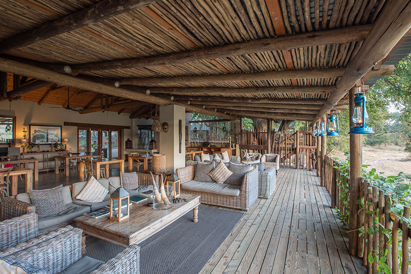
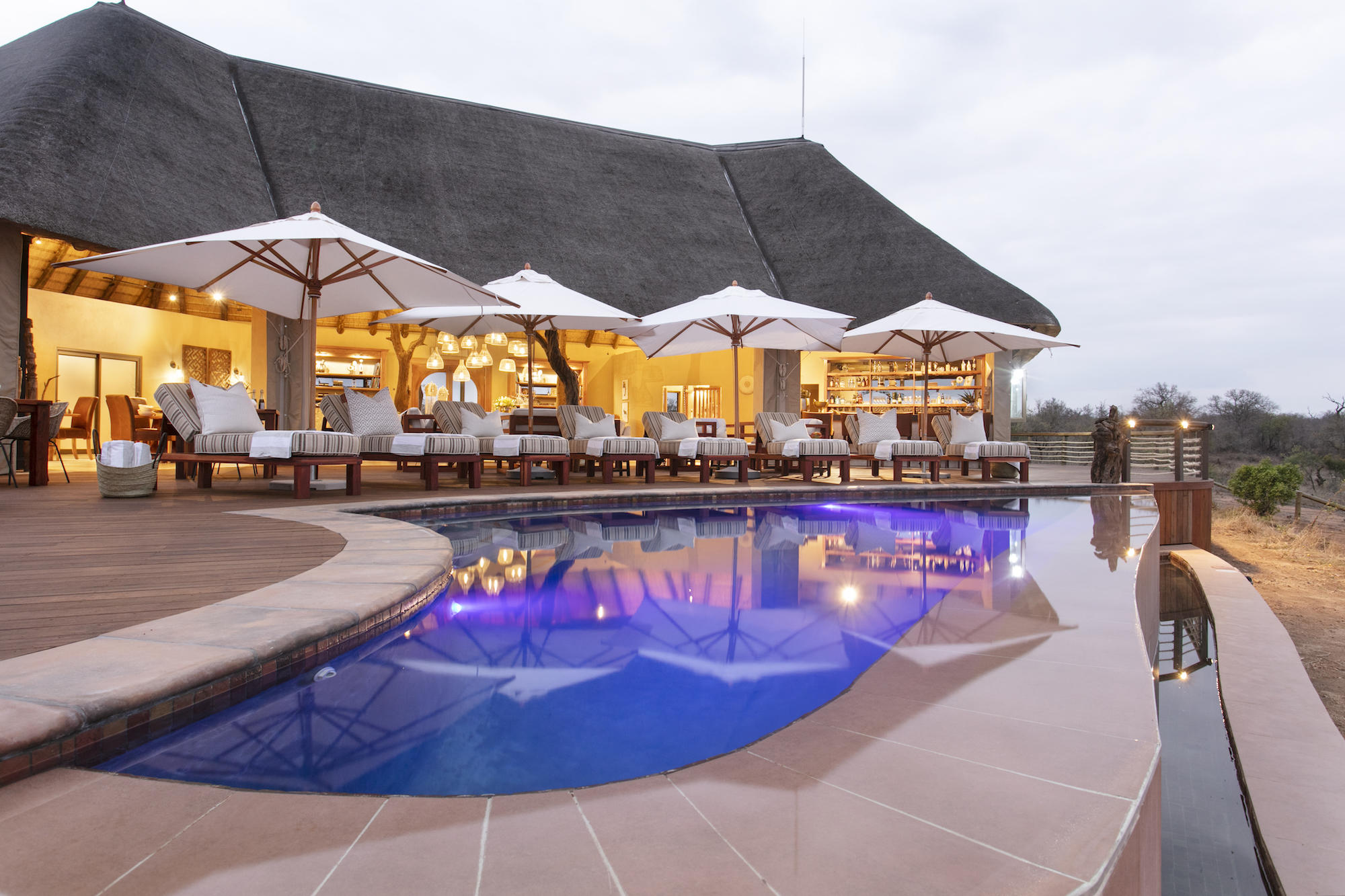
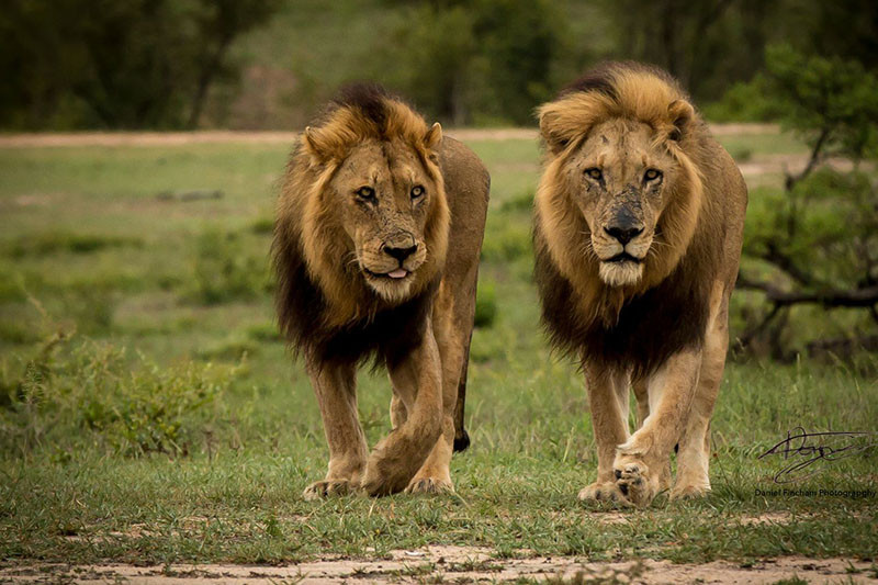
Bordering the (unfenced) south-western boundary of the National Park are the private reserves which have helped South Africa become known for its incredible big five safaris. Privately owned, there are no restrictions on off-road driving, night drives and walking. Using open vehicles, these reserves offer fantastic game viewing.
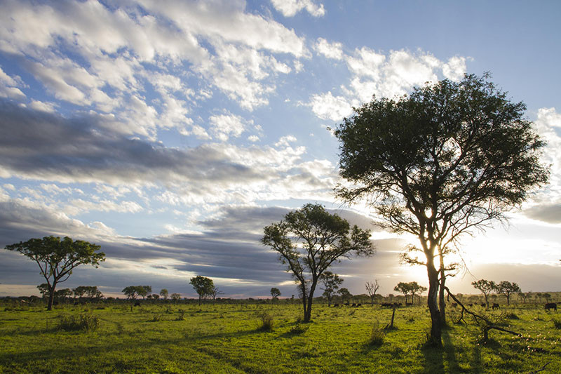
Sabi Sand is perhaps the best known of all the private reserves, and is made up of a consortium of old farms, which over the last 40 years, have reverted back to nature and created the wildlife haven it is today. Many of these old properties are individually owned and host some of the best known safari lodges in Africa, including Londolozi, Mala Mala and Singita. The Sand River flows through the reserve and provides a welcome source of water year round. The habitat of the region is predominantly mixed woodland (from dense riverine forest to acacia-combretum bushveld), with open grassland plains and rocky outcrops.
A little further north is Timbavati which began to take shape as far back as 1956 where conservation minded land owners decided to pool their individual farms and create a wilderness habitat. In 1993, the fence between the Kruger and the reserve was removed allowing animals to move between the two. The habitat of the region is predominantly mopane and mixed woodland on an underlying strata of granite, bisected by the Olifants River and associated floodplains.
Other major private reserves include Manyeleti, Klaserie and Thornybush, all of which offers exceptional game-viewing.
The southern half of Kruger and the associated private reserves fall into Mpumalanga Province, noted too for the impressive Drakensberg Escarpment which forms the divide between the ‘lowveld’ (where the Kruger sits) and the ‘highveld’. Stunning scenery, including some spectacular waterfalls, mountain passes and view points (God’s Window amongst them), as well as the Blyde River Canyon (the World’s third largest canyon) make this area worth visiting. Nelspruit is the main town in the region, and an access point to the southern Kruger and bordering private reserves.